From Fedora Project Wiki

Size of this preview: 800 × 425 pixels. Other resolution: 1,066 × 566 pixels.
Original file (1,066 × 566 pixels, file size: 185 KB, MIME type: image/png)
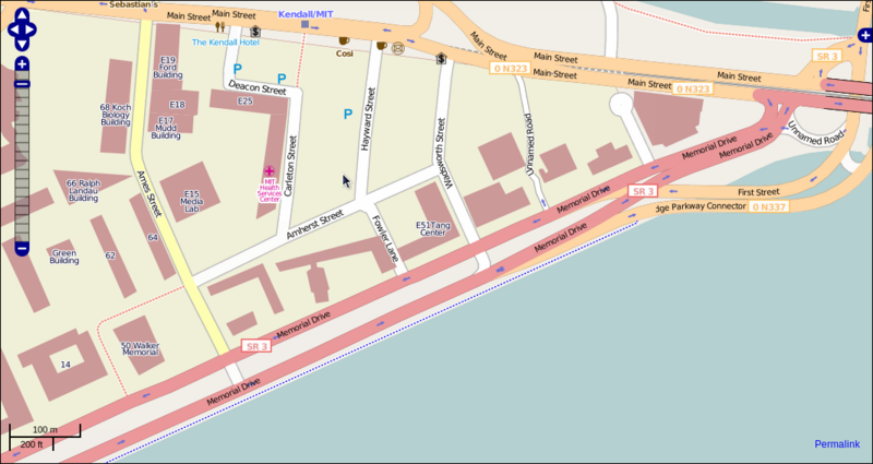
OpenStreetMap graphic of area nearby Massachusetts Institute of Technology, Building E51 (Tang Center) - CC-BY-SA-2.0 licensed
File history
Click on a date/time to view the file as it appeared at that time.
| Date/Time | Thumbnail | Dimensions | User | Comment | |
|---|---|---|---|---|---|
| current | 19:20, 20 December 2008 | | 1,066 × 566 (185 KB) | Pfrields (talk | contribs) | OpenStreetMap graphic of area nearby Massachusetts Institute of Technology, Building E51 (Tang Center) - CC-BY-SA-2.0 licensed |
You cannot overwrite this file.
File usage
The following page uses this file: